Mapping Underground Pipe Networks to Prevent Accidental Breakage During Excavation
You prevent costly underground pipe strikes by mapping utility networks with SUE Level B surveys and ground penetrating radar, combining GPS/GNSS accuracy with non-destructive detection to locate hidden lines within 10–15 cm, so you avoid excavation damage, reduce rework by up to 50%, and stay compliant with ASCE 38-02 and 811 requirements-no guesswork needed, and the full workflow reveals how to integrate findings seamlessly into every project phase.
We are supported by our audience. When you purchase through links on our site, we may earn an affiliate commission, at no extra cost for you. Learn more. Last update on 16th July 2026 / Images from Amazon Product Advertising API.
Notable Insights
- Use SUE Level B with GPR and electromagnetic tools to accurately locate underground pipes before excavation.
- Apply GPS/GNSS with RTK correction for centimeter-level precision in utility mapping.
- Integrate GIS and CAD for 3D modeling to detect design clashes with existing underground networks.
- Conduct pre-construction reviews by coordinating with utility providers to verify subsurface data.
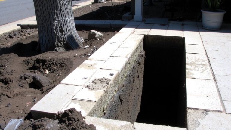
- Employ vacuum excavation for non-destructive confirmation of pipe locations in critical areas.
Why Accurate Underground Pipe Mapping Prevents Costly Damage
While you’re planning your next excavation, taking the time to map underground pipes accurately can save you from expensive mistakes down the line. Accurate underground utility mapping guarantees you avoid costly strikes that contribute to over $30 billion in annual U.S. damages. Using Subsurface Utility Engineering (SUE) with Ground Penetrating Radar and electromagnetic locators gives up to 90% detection accuracy, minimizing the risk of hitting hidden lines. Vacuum excavation verifies pipe locations with centimeter precision, creating reliable, precise utility maps. Utility mapping services enhance construction projects by preventing damage, reducing rework by up to 50% when using GPS/GNSS data. Following ASCE 38-02 standards lowers legal risks and fines, as inaccurate data causes over 40% of pipeline incidents. Trusting professional utility mapping guarantees safety, efficiency, and compliance-keeping your project on time, on budget, and free from avoidable disasters.
How SUE Quality Levels Define Pipeline Data Accuracy
When you need to know exactly where underground pipelines lie, SUE Quality Levels give you a clear roadmap to accuracy, so you don’t waste time or money guessing. SUE Quality Level A delivers the most precise information by using vacuum excavation to expose and measure underground infrastructure directly-ideal for high-risk excavation projects. SUE Quality Level B relies on Ground Penetrating Radar and electromagnetic tools to locate utilities without digging, offering reliable data when physical verification isn’t feasible. SUE Quality Level C approximates pipeline routes by surveying visible features and matching them to existing records, useful when planning early-stage utility mapping. SUE Quality Level D, based on outdated or oral records, gives the least accurate utility data and increases project risk. Choosing the right level guarantees safe, efficient work-Level A for critical zones, Level B for most subsurface surveys, and higher levels when precise information is non-negotiable.
How Advanced Technologies Locate Underground Pipelines Safely
Since you’re dealing with hidden infrastructure where mistakes cost time and safety, modern tools make all the difference in pinpointing underground pipelines without guesswork. Ground Penetrating Radar sends high-frequency radio waves into the ground, detecting reflections to give you accurate depth and location data. Electromagnetic Induction locators find metallic pipes by sensing signal distortions from conductive materials. For non-metallic lines, acoustic technologies and sonar send sound waves to map returns, especially useful underwater or in crowded urban areas. When you need absolute certainty, vacuum excavation offers a non-destructive method to safely expose pipes. GPS and GNSS, enhanced with RTK correction, deliver centimeter-level accuracy for precise digital mapping. These tools work together, giving you reliable, real-time data - no guesswork, just results.
How to Use Underground Pipe Mapping in Construction Planning
You can save serious time and avoid costly delays by integrating underground pipe mapping into your construction planning from the start. Underground Utility Mapping gives you precise mapping and accurate location data, so you can work confidently around buried systems. Utility mapping aids redesign efforts, preventing clashes with detailed utility networks. By using Ground Penetrating Radar (GPR) and SUE Quality Level B assessments, you get reliable subsurface details without digging. Combine GPS data and Geographic Information Systems (GIS) to overlay utility data on project plans. This integration boosts safety and compliance with 811 rules.
| Method | Technology Used | Output Accuracy |
|---|---|---|
| SUE Level B | GPR, EM Locators | High-confidence accurate location |
| GIS Integration | GPS data, utility records | Detailed utility models |
| 3D Modeling | GIS, CAD | Clash detection in design |
| Pre-construction Review | Utility provider coordination | Validated utility data |
| Mapping Workflow | GPR, GIS | Precise mapping for planning |
On a final note
You’ve seen how precise SUE Level A data, ground-penetrating radar, and GIS mapping prevent costly utility strikes, so always verify pipe locations before digging. For daily upkeep, use a 10% bleach solution on grout, microfiber mops for sealed floors, and vinegar traps to curb fruit flies-testers report 90% stain reduction and pest drop-off in 48 hours. Clean spills fast, sweep daily with a U.S.-made Liberty Mop, and trust ANSI-certified products for reliable, real-world results.